Pacer Walking App
The #1 Walking App
4.8
(1643K)
Open in App
Walking App
Near Me
Clubs
Challenges
Medals
For Workplaces
© Mapbox
© OpenStreetMap
Improve this map
© Mapbox
© OpenStreetMap
Improve this map
United States
Ohio
Medina
Medina High School
Medina, Ohio, USA
United States
Ohio
Medina
Medina High School
1
reviews
Length
0.4 mi
Est. Steps
1000
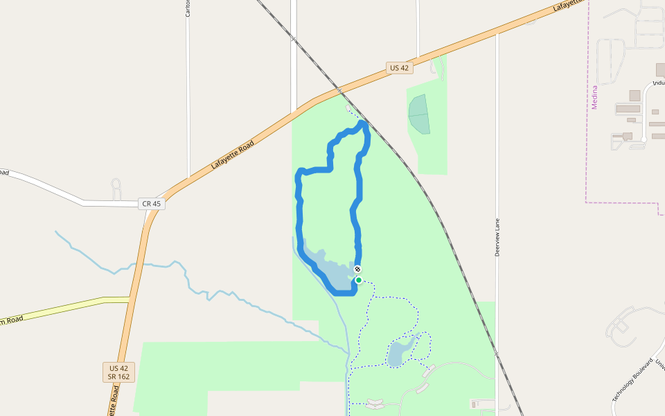
Medina High School Introduction
Medina High School is a 0.4 mile (1,000-step) route located near Medina, Ohio, USA. This route has an elevation gain of about 0 ft and is rated as easy. Find the best walking trails near you in Pacer App.
Open in App for Details
Map of Medina High School
© Mapbox © OpenStreetMap
View Full Map
View Full Map
Last updated: Mar 1, 2025
Route Details
Length
0.4 mi
Est. Steps
1000
Recommended Routes Near Medina High School
Medina, Ohio
Reagan Park Trail
Length 2.1 mi
· Elev 29.5 ft
Medina, Ohio
River Trail
Length 2.2 mi
· Elev 23 ft
Medina, Ohio
Connector Trail
Length 0.4 mi
· Elev 13.1 ft
Medina, Ohio
Huffman Trail
Length 1.8 mi
· Elev 26.2 ft
Medina, Ohio, USA
Buckeye Woods County Park
Length 1.4 mi
Medina, Ohio, USA
Chippawa Inlet Trail
Length 3.6 mi
· Elev 26.2 ft
Pacer Walking App
Pacer is the
best walking app
for walking challenges and finding
places to walk near me
.
Open in App for Details
Cancel
Yes
Pacer Walking App
The #1 Walking App
4.8
(1643K)
Open in App
Walking App
Near Me
Walking Clubs
Walking Challenges
Medals
For Workplaces