Pacer Walking App
The #1 Walking App
4.8
(1643K)
Open in App
Walking App
Near Me
Clubs
Challenges
Medals
For Workplaces
© Mapbox
© OpenStreetMap
Improve this map
© Mapbox
© OpenStreetMap
Improve this map
France
Auvergne-Rhône-Alpes
Clermont-Ferrand
Sentier du Haut des Côtes
France
Auvergne-Rhône-Alpes
Clermont-Ferrand
Sentier du Haut des Côtes
1
평가
길이
0.3 km
단계
418
루트 디테일
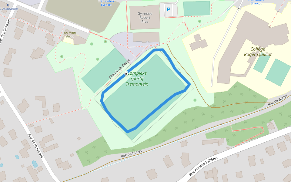
Sentier du Haut des Côtes은/는 0.3 km (418-걸음) 주변 입니다. 이 루트의 경도는 대략 0 m 정도이며, 별점쉬움 점을 받았습니다. 이것과 비슷한 루트를 Pacer 앱 에서 찾아보세요!!
자세한 내용은 앱에서 열기
지도
© Mapbox © OpenStreetMap
전체 지도 보기
전체 지도 보기
Last updated: Apr 1, 2025
루트 디테일
길이
0.3 km
단계
418
추천 루트
Chemin du Milieu des Côtes
길이 0.4 km
클레르몽페랑, 퓌드돔 주, 프랑스
푸이 드 라 Mouchette-Chemin de la Plaine
길이 6.1 km
· 경도 220 m
Chemin de Bouys
길이 0.3 km
클레르몽페랑, Auvergne-Rhône-Alpes
로버트 프라스 체육관
길이 0.3 km
클레르몽페랑, 퓌드돔 주, 프랑스
Sagottiers 경로
길이 1.9 km
· 경도 82 m
클레르몽페랑, 퓌드돔 주, 프랑스
La Glaciere-Chemin des Lauriers
길이 2.9 km
· 경도 91 m
Pacer Walking App
Pacer is the
best walking app
for walking challenges and finding
places to walk near me
.
자세한 내용은 앱에서 열기
취소
예
Pacer Walking App
The #1 Walking App
4.8
(1643K)
Open in App
Walking App
Near Me
Walking Clubs
Walking Challenges
Medals
For Workplaces