Open in App
pacer logo
던레이븐 패스 - 마운트 워시번 트레일 walking route map in Yellowstone National Park, 와이오밍 주
United StatesBreadcrumb separatorWyomingBreadcrumb separatorYellowstone National ParkBreadcrumb separator
던레이븐 패스 - 마운트 워시번 트레일
Yellowstone National Park, 와이오밍 주

던레이븐 패스 - 마운트 워시번 트레일

Rating StarRating StarRating StarRating StarRating Star
1
 평가
길이5.6 km
고도 높이기377 m
단계8000

루트 디테일

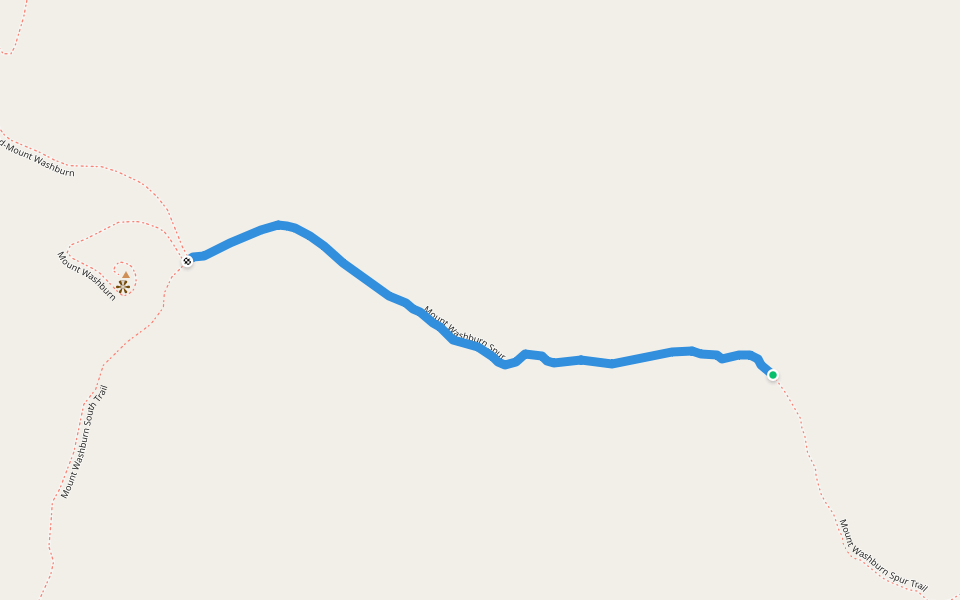
던레이븐 패스 - 마운트 워시번 트레일은/는 5.6 km (8,000-걸음) Yellowstone National Park, 와이오밍 주주변 입니다. 이 루트의 경도는 대략 377 m 정도이며, 별점어려움 점을 받았습니다. 이것과 비슷한 루트를 Pacer 앱 에서 찾아보세요!!
Starting at the Dunraven Pass Trailhead you ascend Mount Washburn on a trail with spectacular views. Look for bighorn sheep and wildflowers. Stay on the trail to avoid destroying fragile alpine vegetation. At the top, enjoy the view and interpretive exhib
Last updated: Apr 1, 2025

루트 디테일

Detail Icon

길이

5.6 km
Detail Icon

고도 높이기

377 m
Detail Icon

단계

8000
pacer

Pacer Walking App

Pacer is the best walking app for walking challenges and finding places to walk near me.