Pacer Walking App
The #1 Walking App
4.8
(1643K)
Open in App
Walking App
Near Me
Clubs
Challenges
Medals
For Workplaces
© Mapbox
© OpenStreetMap
Improve this map
© Mapbox
© OpenStreetMap
Improve this map
France
Centre-Val de Loire
Champrond-en-Gâtine
Champrond-en-Gâtine에서 Illiers-Combray까지
몽티니 르 샤르티프, Centre-Val de Loire
France
Centre-Val de Loire
Champrond-en-Gâtine
Champrond-en-Gâtine에서 Illiers-Combray까지
1
평가
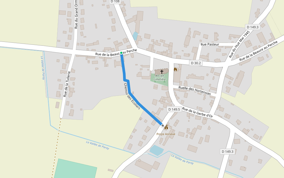
길이
61.3 km
고도 높이기
111 m
단계
88000
루트 디테일
Champrond-en-Gâtine에서 Illiers-Combray까지은/는 61.3 km (88,000-걸음) 몽티니 르 샤르티프, Centre-Val de Loire주변 입니다. 이 루트의 경도는 대략 111 m 정도이며, 별점어려움 점을 받았습니다. 이것과 비슷한 루트를 Pacer 앱 에서 찾아보세요!!
자세한 내용은 앱에서 열기
지도
© Mapbox © OpenStreetMap
전체 지도 보기
전체 지도 보기
Last updated: Apr 1, 2025
루트 디테일
길이
61.3 km
고도 높이기
111 m
단계
88000
추천 루트
생-모리스-생-제르맹, Centre-Val de Loire
Senonches에서 Champrond-en-Gâtine까지
길이 32.8 km
· 경도 133 m
Chemin de l'Abreuvoir
길이 0.3 km
쿠르빌쉬르외르, Centre-Val de Loire
성 니콜라스 광장
길이 1.6 km
쿠르빌쉬르외르, Centre-Val de Loire
성 니콜라스 광장
길이 5.6 km
Chemin des Écoliers
길이 0.2 km
Promenade du Gué Bellerin
길이 0.3 km
Pacer Walking App
Pacer is the
best walking app
for walking challenges and finding
places to walk near me
.
자세한 내용은 앱에서 열기
취소
예
Pacer Walking App
The #1 Walking App
4.8
(1643K)
Open in App
Walking App
Near Me
Walking Clubs
Walking Challenges
Medals
For Workplaces