부킷 티마 자연 보호 구역
| 길이 | 7.6 km |
|---|
|
| 고도 높이기 | 395 m |
|---|
|
| 단계 | 11000 |
|---|
숲
야생화
산
조용한 장소
길을 벗어남
바위 투성이
급경사
신호가 약합니다
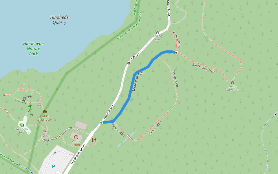
루트 디테일
부킷 티마 자연 보호 구역은/는 7.6 km (11,000-걸음) 싱가포르, 북부 주주변 입니다. 이 루트의 경도는 대략 395 m 정도이며, 별점어려움 점을 받았습니다. 이것과 비슷한 루트를 Pacer 앱 에서 찾아보세요!!
This is the outer rim of Bukit Timah Hill. Many steep sloop(steps) to overcome. Challenging but manageable if u are fit. However, There is always a options of easy path which is more suitable for casual working to the summit.
https://www.nparks.gov.sg/gardens-parks-and-nature/parks-and-nature-reserves/bukit-timah-nature-reserve
Last updated: Apr 1, 2025


댓글