Open in App
pacer logo
チッテンデン ロード - マウント ウォッシュバーン トレイル walking route map in Yellowstone National Park, ワイオミング州
United StatesBreadcrumb separatorWyomingBreadcrumb separatorYellowstone National ParkBreadcrumb separator
チッテンデン ロード - マウント ウォッシュバーン トレイル
Yellowstone National Park, ワイオミング州

チッテンデン ロード - マウント ウォッシュバーン トレイル

Rating StarRating StarRating StarRating StarRating Star
1
 评価
長さ4.6 km
高さの変化400 m
ステップ6500

ルート詳細

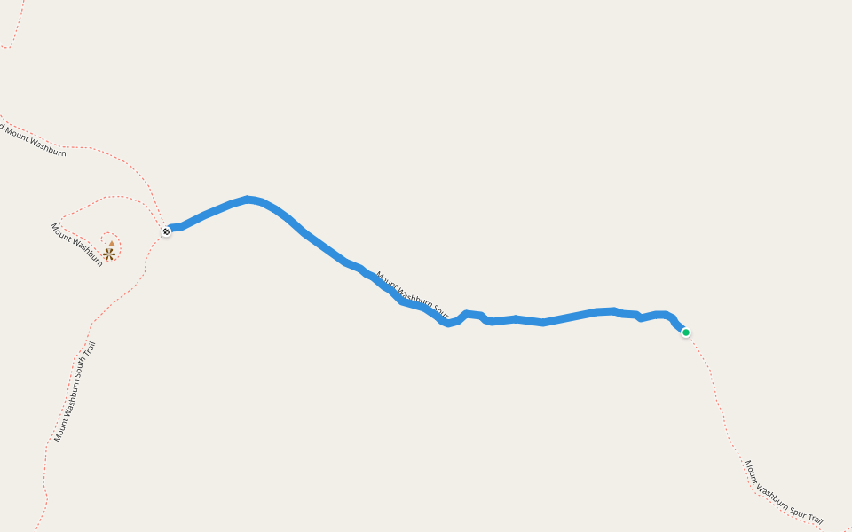
「チッテンデン ロード - マウント ウォッシュバーン トレイル」はYellowstone National Park, ワイオミング州周辺にある4.6 km(6,500歩)のルートです。このルートの獲得標高はおよそ400 mで、難易度は難しいとされています。これに似たルートはPacerアプリからご覧ください。
Starting at the Chittenden Road Trailhead this route provides the shortest route up to Mount Washburn. The road provides for a wide trail and a steady gradual incline. Look for bighorn sheep and wildflowers. Stay on the trail to avoid destroying fragile a
Last updated: Mar 1, 2025

ルート詳細

Detail Icon

長さ

4.6 km
Detail Icon

高さの変化

400 m
Detail Icon

ステップ

6500
pacer

Pacer Walking App

Pacer is the best walking app for walking challenges and finding places to walk near me.