ハット リバー トレイル
| 長さ | 35.2 km |
|---|
|
| 高さの変化 | 133 m |
|---|
|
| ステップ | 50000 |
|---|
ルート詳細
「ハット リバー トレイル」はローワーハット, ウェリントン地方周辺にある35.2 km(50,000歩)のルートです。このルートの獲得標高はおよそ133 mで、難易度は難しいとされています。これに似たルートはPacerアプリからご覧ください。
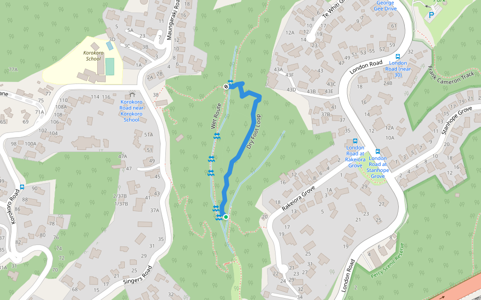
Hutt River Trail (HRT) runs from Petone Station along the beachfront to Hikoikoi Reserve and from there to Te Marua, Upper Hutt where it links into the Remutaka Rail Trail. There are many access points along the Hutt River.
Last updated: Apr 1, 2025