Sentiero del fiume Hutt
| Lunghezza | 35.2 km |
|---|
|
| Altezza Raggiunta | 133 m |
|---|
|
| passi | 50000 |
|---|
Dettagli Percorso
Sentiero del fiume Huttè un 35.2 km(50.000-passi) percorso localizzato vicino a Lower Hutt, Wellington.Questo percorso ha unelevazione di circa 133 m ed è classificato con difficile. Trova nuovi percorsi come questo nellApp Pacer.
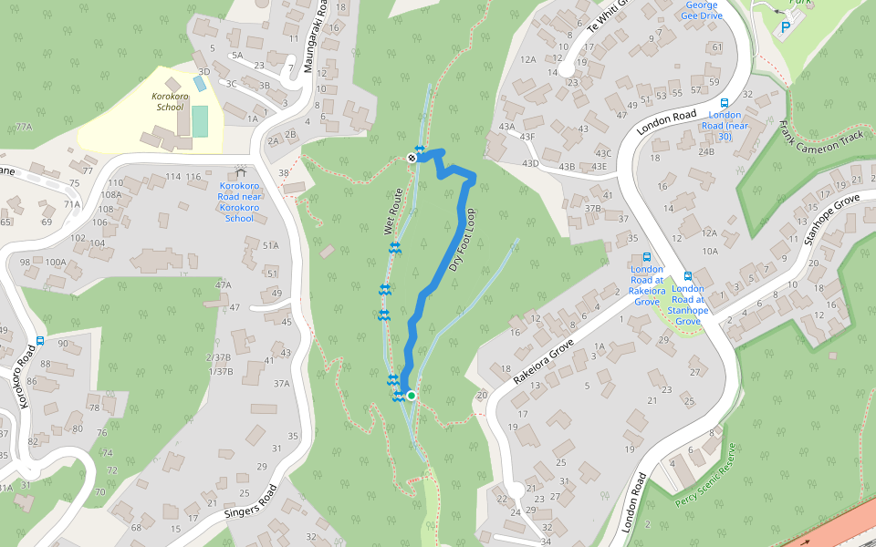
Hutt River Trail (HRT) runs from Petone Station along the beachfront to Hikoikoi Reserve and from there to Te Marua, Upper Hutt where it links into the Remutaka Rail Trail. There are many access points along the Hutt River.
Last updated: Apr 1, 2025